Thunderstorm risks in the Plains and watching a few systems in the tropics
Sep 14, 2025

Good Sunday morning! Just a quick weather update as I am getting ready to hit the road to travel back to Oklahoma from the Mississippi Book Festival (more about that in later posts). For today, a storm system moving through the middle of the country will bring slight risks of severe thunderstorms and some flash flooding to parts of the Northern and Central Plains. There will be some tornadic potential in the North Dakota slight risk, so that is something to be aware of going through the day.
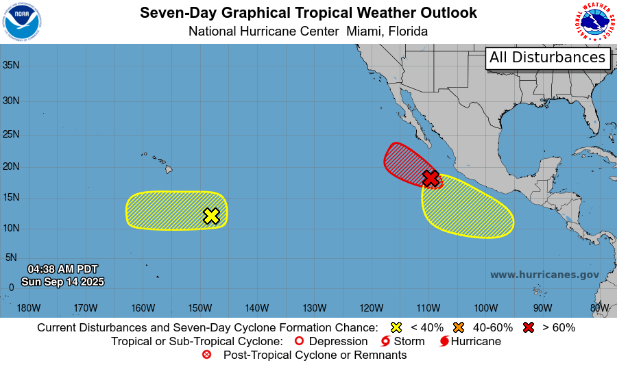
In the tropics, as we discussed on Friday, Mario had an uncertain future, and it in fact met a quick demise — but now looks to be having a renaissance with NHC likely to reinitiate advisories on it later today as it passes northwest south of the southern tip of Baja California. Two other areas are being monitored by NHC and CPHC for low risks of development.
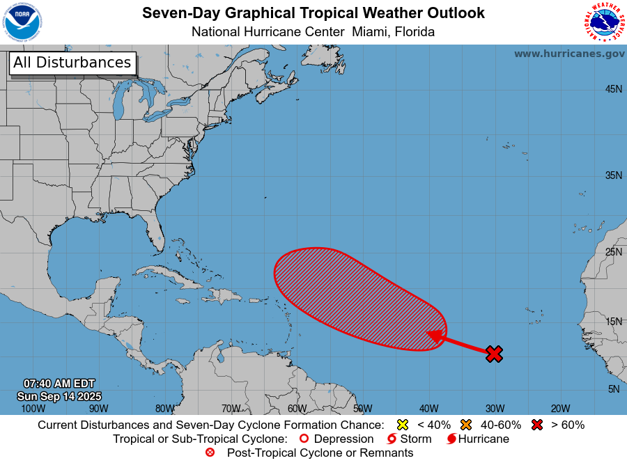
In the Atlantic, the tropical wave in the eastern Atlantic we have been talking about for several days is currently moving through somewhat dry and stable air, hindering development. However, it is anticipated to move into a more favorable environment in a few days, and NHC now has a high (70%) chance of development into a tropical cyclone this week. The reincarnated Mario looks to move west-northwest and eventually meet a second demise in the cooler waters west of Baja.
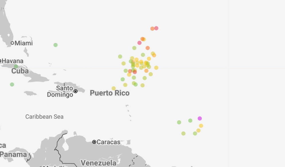
Most of the model forecasts (Google DeepMind AI shown above for next Saturday night) show this system passing north of the Caribbean islands. A trailing wave farther south shows some smaller risk for development, but as of now the models show very inconsistent solutions for that system.

Leave a comment