A couple of pics from my bucket list visit to Mount Washington Observatory
Oct 02, 2025
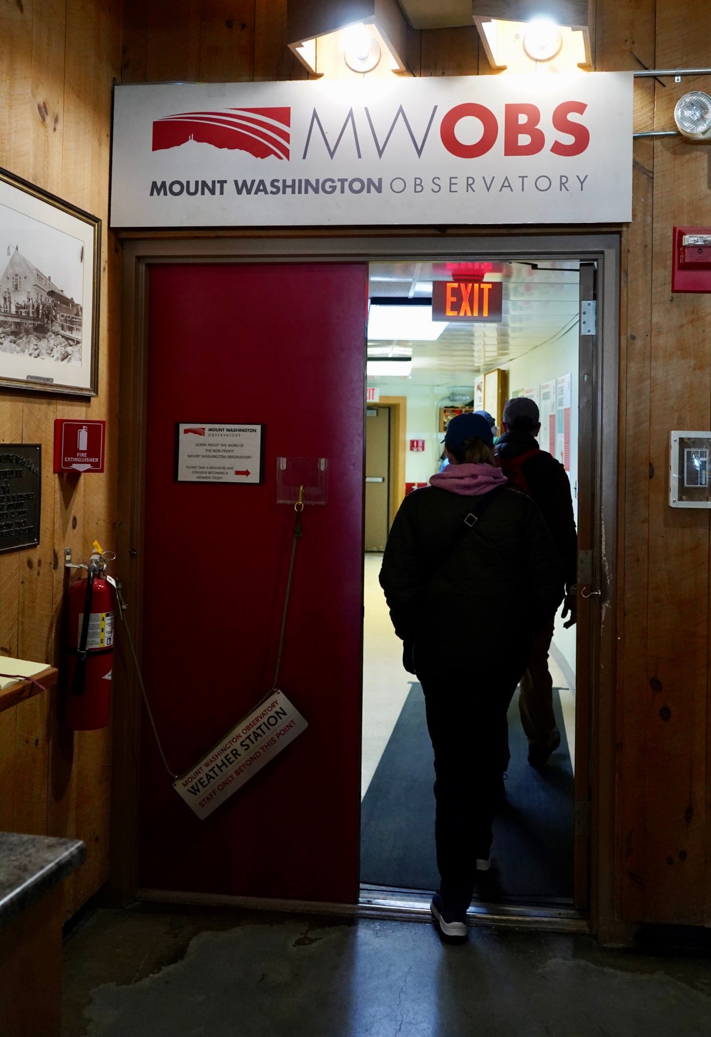
Good evening! I will have a much longer post about this experience in future day, but today I had the opportunity to tour the Mount Washington Observatory. The Mount Washington Observatory is the location that recorded the highest wind speed observed by a human observer on Earth, 231 mph on April 12, 1934. For a variety of reasons, this location on the summit of Mount Washington, NH — the highest summit in the eastern United States — has some of the most changeable and harshest weather conditions in the world.
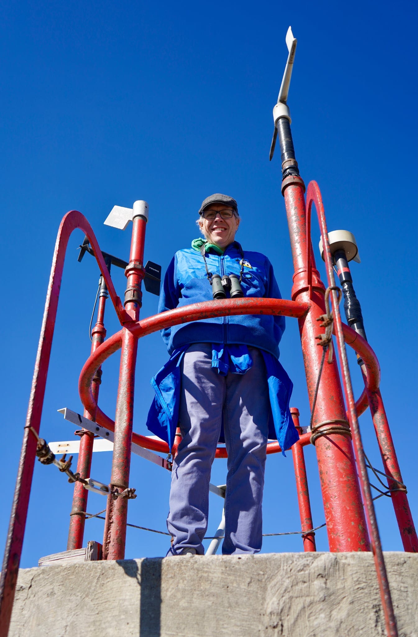
Being able to visit the summit and tour the observatory was truly a bucket list adventure for a weather geek like me, and I want to do the experience justice with a dedicated post (or two) about it. The cell coverage unfortunately precluded me doing much in the way of any live video, but I did do a short Substack live from the summit museum if you want a look at the display about the world record wind gust.

As far as weather goes, the generally quiet fall weather continues for most of the country. Wet weather in the West has been welcome with regard to helping to temper wildfire concerns.
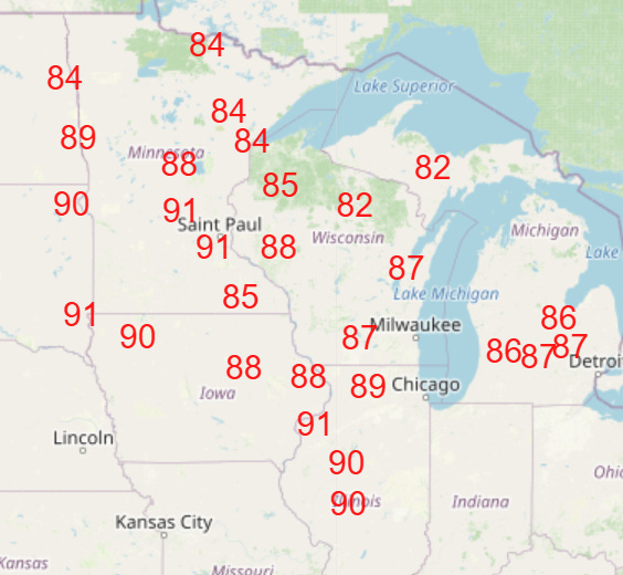
The biggest weather story is the unusual warmth that much of the nation is experiencing; numerous record warm temperatures — both maxes and mins — are expected in the Great Lakes and upper Midwest through this weekend (NWS forecast temperatures at or above record maxes shown above). Record warmth is also expected to be widespread in Canada.
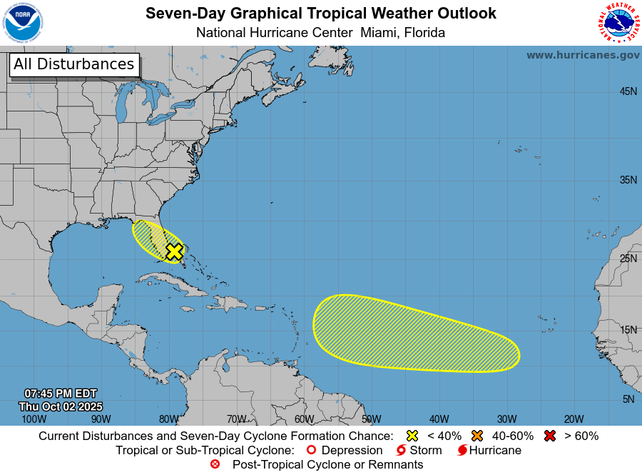
While there are no current tropical systems in the Atlantic after both Humberto and Imelda became post-tropical in the last day or so, it seems likely that the tropics will remain active and a focus for the next week or two as NHC is currently monitoring two areas for potential development.
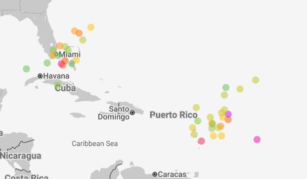
While neither of these areas looks favorable for near term development, the ensembles are rather bullish on development occurring in both areas by about a week from now (Google DeepMind AI ensemble day 7 forecast members shown above, orange to purple dots are stronger forecast cyclones).
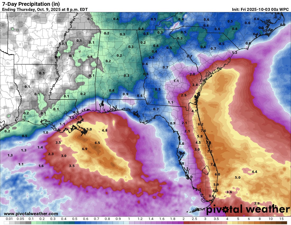
Regardless of development in the southwest Atlantic region, the area of disturbed weather in the area is expected to bring increasingly heavy rainfall to Florida, particularly along the east coast. The risk of flash flooding will be increasing here into this weekend.
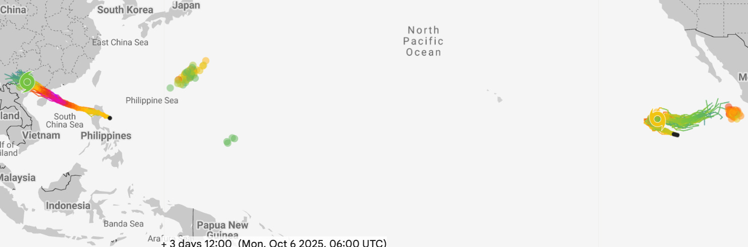
The Pacific also remains very active (day 3 Google DeepMind forecast above). Typhoon Matmo recently made landfall and will be moving across the northern Philippines over the next 24 hours, and is expected to become even more intense in the South China Sea and pose a significant risk to southern China and Hong Kong this weekend. Tropical Storm Octave may become a hurricane in the eastern Pacific, but should remain well offshore and weaken over cooler waters. An additional system is expected to evolve off the southwest coast of Mexico this weekend and should move northwest into early next week.
Note: As a reminder, my posts will continue to be more erratic into early next week as I will be traveling.

Leave a comment