March 23

Good morning! Today, we are watching our primary storm system move into the Midwest. Overnight it did produce a cluster of thunderstorms that produced some hail over Missouri before weakening and moving east. As the system slides east, on the far northern side it will produce some wintry weather, including heavy snow in the northwestern Great Lakes region and some pockets of freezing rain from Wisconsin east into the Northeast.

On the south side of the system, the focus will be on the potential for severe thunderstorms. As we have discussed over the last couple of days, the overall pattern and weather setup today is not conducive to a major severe weather episode: the upper level system is passing north of the area that will be more unstable, the Gulf moisture return is not particularly strong, and the cold front is moving from northwest to southeast which favors individual storms being “undercut” by the cooler air and not being able to be sustained on low level warm/moist air. Still, cold temperatures aloft in the atmosphere and decent wind shear through the depth of the atmosphere will promote some severe storms developing with large hail and damaging wind being the primary risks. As shown in the tornado forecast in the upper right hand image in the SPC severe weather outlook above, the area across northern Mississippi and southwest Tennessee is where there does appear to be a few hours late this afternoon and early this evening where conditions will become a bit more favorable for a few tornadoes.

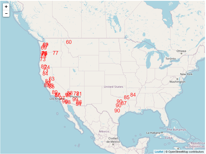
After today, the big weather story for the upcoming week looks to be record warmth, starting the western and south central US the first half of the weekend and then shifting into the central US by late in the week. The map above shows the surface temperature anomaly – how much warmer or colder than normal the temperature is – for around midday Tuesday. Many locations from the Southern Plains to the West Coast will be 10 to 25 degrees F above normal. As a result, numerous locations will approach or set record high maximums (forecast locations for near or above record highs for Tuesday shown below) and/or record high minimums.
We’ll watch the severe weather potential in the South today, and I will put some updates on notes or in a special post if needed. Hope everyone has a great Sunday!

Leave a comment