Severe weather risk slowly increasing
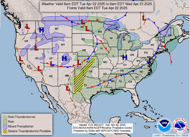
Good morning! Today will be a bit of a transition day in weather as the pattern works toward a somewhat more active weather setup in the coming days. The front that has been producing storm activity in the middle of the country the last few days has become nearly stationary from the Mid-Atlantic to Texas and will be the focus for scattered showers and storms today. A weak system in the upper Midwest will also bring some scattered shower and thunderstorm activity to that region.
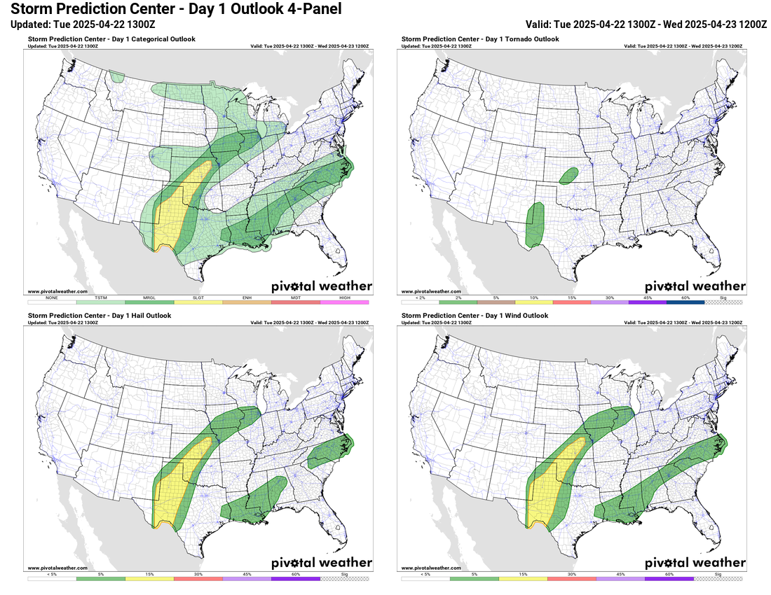
Disturbances moving through the southwesterly flow aloft ahead of an upper level trough off the west coast will bring additional thunderstorm activity to parts of the southern and central Plains states. This will be the area with the greatest risk of severe storms over the next 24 hours, and the Storm Prediction Center (SPC) has a slight (level 2 of 5) risk outlooked for some storms producing large hail and damaging wind gusts.

A similar pattern will be in place on Wednesday, and at least a marginal risk for severe storms will expand to include eastern Colorado and parts of Nebraska.
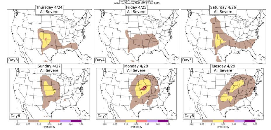
The weather pattern across the central part of the country looks to grow increasingly active through the rest of the week, and especially this weekend and into the early part of next week. The slow moving upper level trough of low pressure off the west coast is expected to intensify and start moving inland into the Southwest. As this happens, stronger disturbances moving through the central U.S. ahead of this trough will yield a more favorable environment for severe storms. The Colorado State University machine learning system (CSU-MLP) shows rather high probabilities next Sunday through Tuesday (days 6-8). Obviously the areas most under risk will need to be refined as the individual weather systems become more clear, but anticipate an overall increase in severe weather activity.
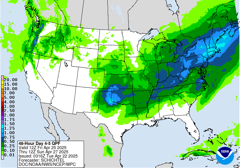
Along with the thunderstorms over the central United States, a disturbance coming through eastern Canada and the Northeast will bring cool and wet weather to that region for the end of the week as well. Cooler than normal conditions will also be in place over the western U.S. under the developing upper trough of low pressure, while much of the rest of the country will see well above normal temperatures much of this week and into the weekend.
In fact, near record warm temperatures will become an increasing possibility by this weekend over parts of the eastern U.S.

Leave a comment