And a wet weekend for the Southeast

Happy Friday! Yesterday was definitely a much more active day than the previous with nearly 300 reports of severe weather. As expected, they were primarily large hail and damaging wind reports in the Southeast; more than 20 reports of very large hail 2” or greater were received by the Storm Prediction Center (SPC), with very large hail up to baseball sized reported at several locations in southeast Kentucky.

Several severe storms also moved through south Texas, including this intense bow echo storm which developed west of Corpus Christi. It is pretty rare to see radar base velocity values greater than 100 mph that are not associated with a tornadic circulation. This bow echo produced an 89 mph measured wind gust at the Alvin, TX airport a bit before this radar image above, and there was a spotter report of downed power poles and transmission lines near Petronila which can be seen near the 100+ mph winds on the radar image. Luckily, the storm began to weaken a bit by the time it got to the more urban area near Corpus Christi.
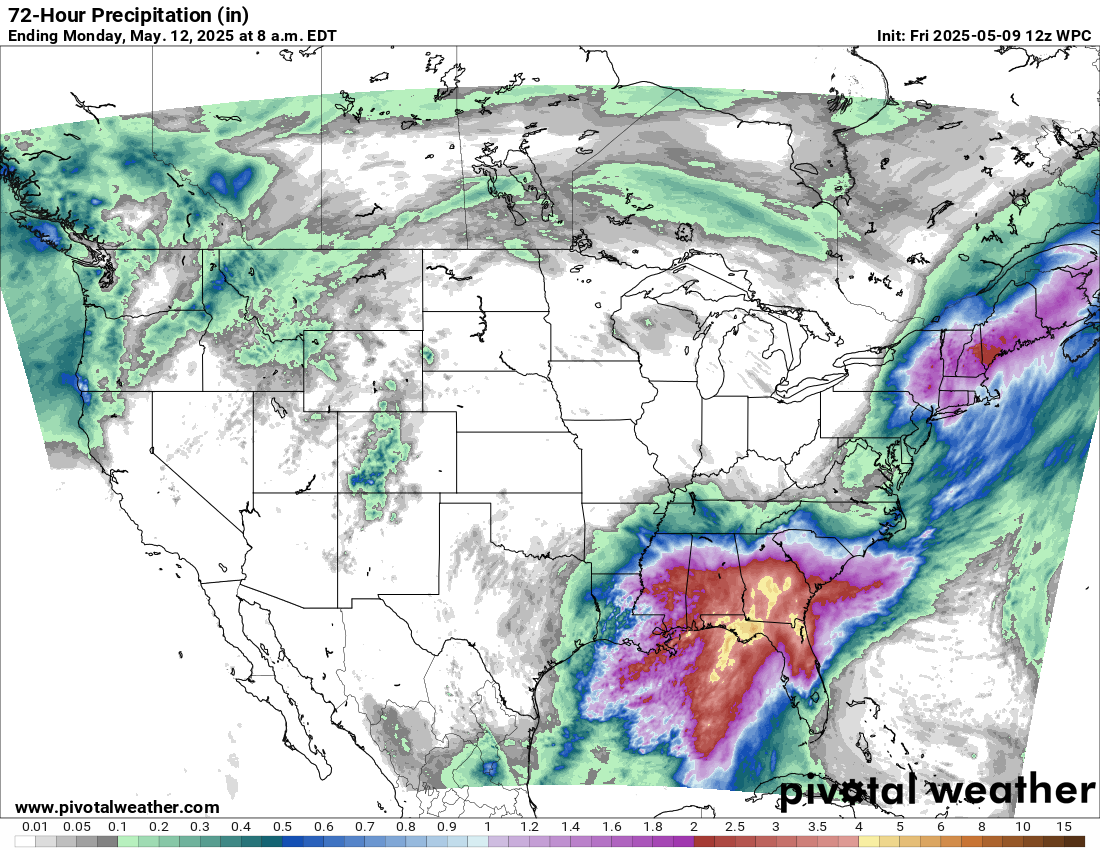
The upper level low over centered over the western Gulf Coast region is not going anywhere this weekend, and as a result multiple waves of showers and thunderstorms will impact the Southeast. While not a particularly favorable setup for severe thunderstorms, there will likely be a few isolated severe storms with large hail and damaging downburst winds each day.

Today that risk will be a bit more focused over the eastern Florida peninsula where the east coast sea breeze will help focus thunderstorm activity and where a slight (level 2 of 5) risk is in place from the Storm Prediction Center. Meanwhile, the separate upper low that dropped south out of eastern Canada into the Northeast over the last 24 hours will also provide a focus for some severe storms in the Tidewater region and a slight risk is in place there as well.
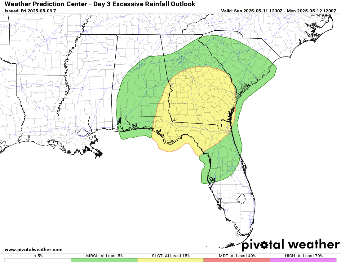
By Sunday, the cumulative heavy rainfall should start to result in saturated soils more prone to flash flooding in parts of the Southeast, and the Weather Prediction Center has placed a slight (level 2 of 4) risk of excessive rainfall in parts of Georgia and northern Florida.
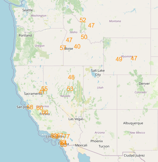

Meanwhile, the West will see warm and generally dry conditions to start the weekend, with a number of record warm temperatures possible on Saturday. By Sunday, a new weather system will move into the Northwest with increasing rain and high elevation snows as shown in the weekend precipitation forecast a few images above.

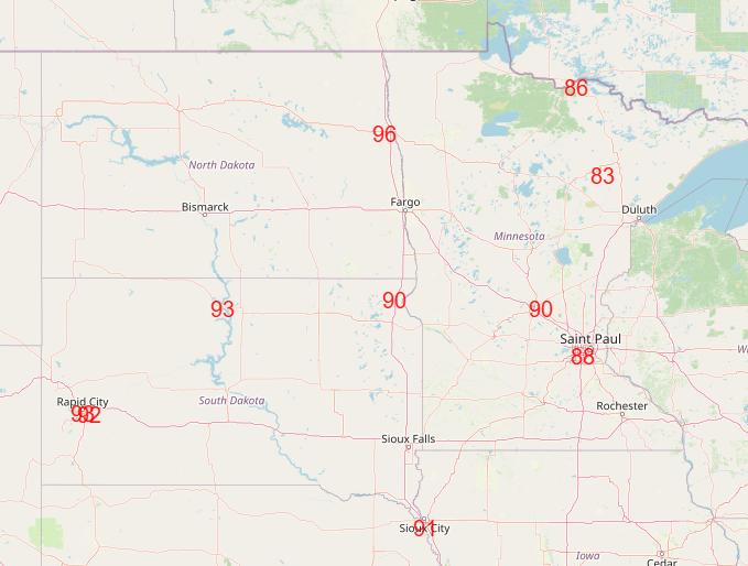
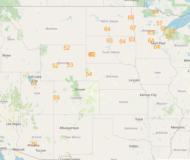
The unseasonably warm air will shift east ahead of this system, and a number of record warm temperatures are possible from the Southwest into the upper Midwest Sunday into Monday.

As we go into next week, the Southeast upper low will finally start to move out by midweek, and the system coming into the Northwest early in the week will move east and begin to interact with slowly returning Gulf moisture and instability to start to bring increased risks for severe weather, first in the Northern Plains and then spreading toward the Midwest and Ohio Valley later in the week.

Leave a comment