Watching a cool east, warm west pattern for the weekend
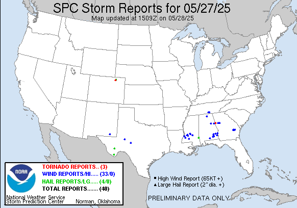
We finally had a “quieter” day with regard to thunderstorms on Tuesday, with just 40 reports of severe weather and no reports of any very large hail for the first time in a while.
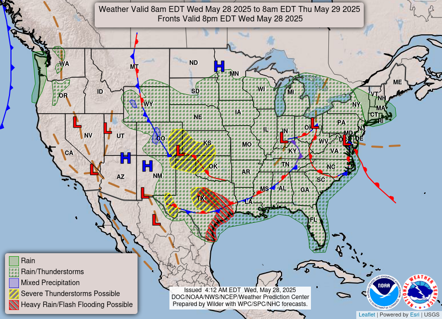
Today will see scattered showers and thunderstorms over much of the country from the Rockies east, but the risk of severe storms will be focused along a couple of stationary fronts, one in the central Plains and the other in Texas. SPC has slight (level 2 of 5) risks of severe weather in both areas. The most intense severe storms are expected in the Central Plains slight risk area, where supercells capable of very large hail and a few tornadoes will be possible later today into tonight.
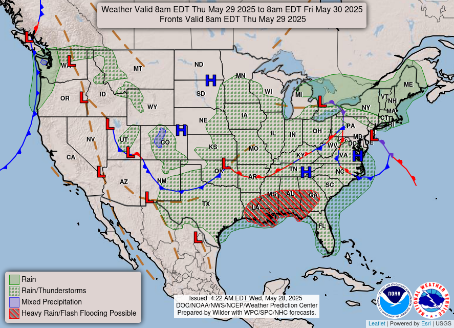
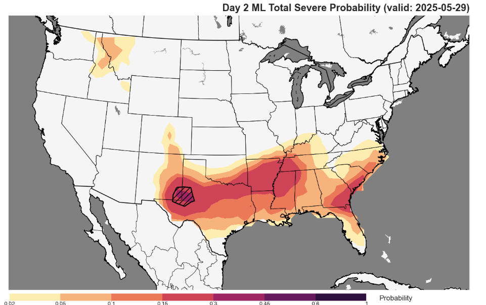
Thursday will be a somewhat similar day to today but with the risk of severe storms and heavy rainfall pushed farther south from Texas east along the Gulf Coast region.
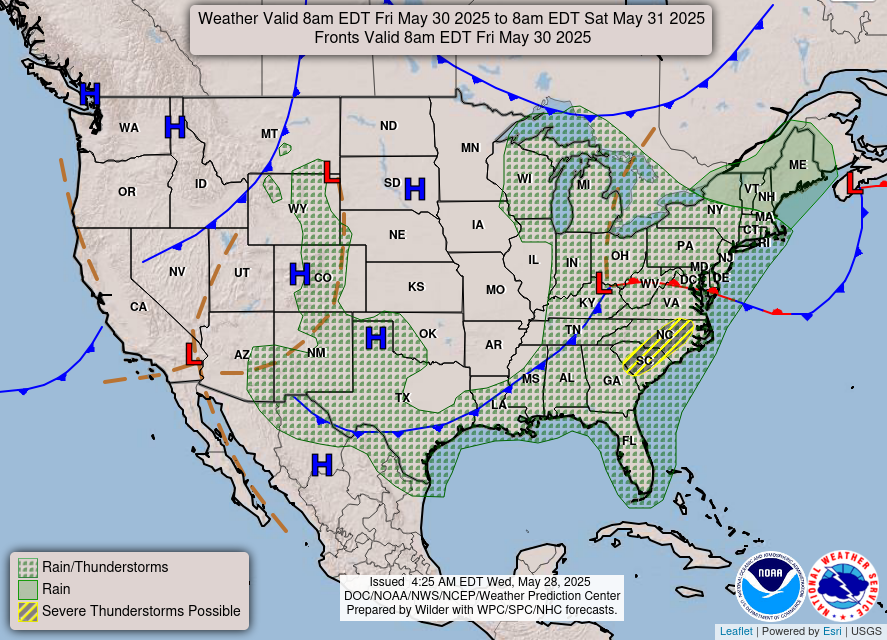
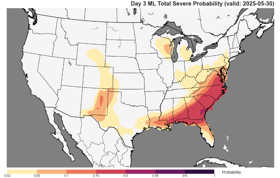
By Friday, the upper level weather pattern will evolve toward a strong upper level trough of low pressure along the East Coast and a strong ridge of high pressure over the West. As this happens, a low pressure system will develop over the Mid-Atlantic region which will bring a more organized risk for severe thunderstorms from the Carolinas south to the Gulf Coast region Friday.
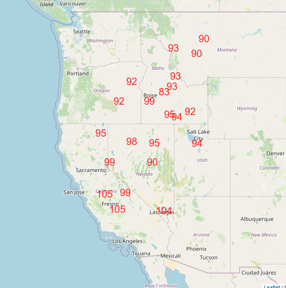
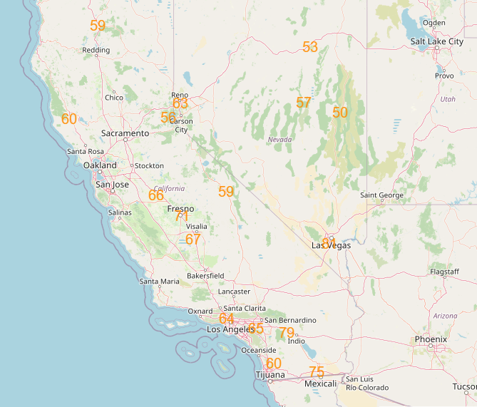
Meanwhile in the West unseasonable warmth will build, and by Saturday a number of record warm temperatures are possible, including potentially a few monthly records. The East will be cooler than normal for the upcoming weekend.
Programming note: A reminder that tomorrow (Thursday) at 2 pm CT, we will be recording our first Balanced Weather science video. My first guest will be Dr. Tony Lyza from the National Severe Storms Laboratory. You can read more about Tony’s work and background here. The focus of my conversation with Tony will be his work on tornado damage research, and particularly his recent paper Where Have the EF5s Gone? A Closer Look at the “Drought” of the Most Violent Tornadoes in the United States. The recorded video will be available to all subscribers – but paid subscribers can participate in the live event. To become a paid subscriber at a reduced special rate, click here.

Leave a comment