
Plaskett Fire burning intensely in Big Sur area causing evacuations; rescue and response operations in Grand Canyon NP after serious flash flood late Saturday
Aug 30, 2026
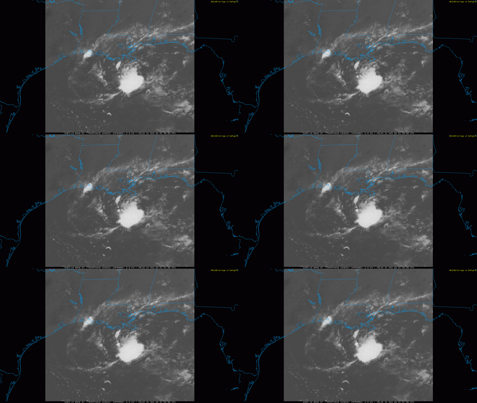
I just wanted to give a quick evening update on several developing weather stories.
The tropical disturbance (Invest 97L) in the northern Gulf of Mexico continues to become better organized this evening. The system has an expanding area of showers and thunderstorms over a low pressure center which is weak but showing signs of becoming increasingly well defined in observations and satellite data. All of these are signs of a tropical system gradually becoming better organized.
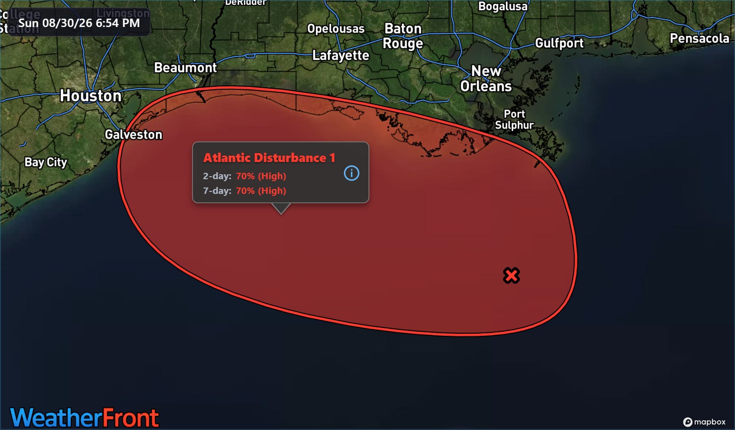
NHC increased the probabilities of 97L to 70% on their evening outlooks, and based on observations and model trends it seems that at least a tropical depression will likely develop out of 97L. I would not be surprised to see NHC initiate advisories on a “potential tropical cyclone” to get official forecasts out about this system sometime later tonight.
The overall setup for 97L as far as potential intensity and track that I discussed earlier today still seem more or less valid, with a track toward southeast Texas or southwest Louisiana expected. Dry air to the north of the system will be a potential negative — but relatively light shear and very warm water could support some intensification. Looking at the latest run of the Google DeepMind AI system, only about a quarter of the ensemble members develop 97L, but of those that do several make it a rather strong tropical storm and a couple even make hurricane intensity.
As I discussed this morning, there have been some examples of systems taking advantage of the very warm Gulf waters and intensifying rather quickly in this region in spite of otherwise marginal looking conditions (e.g., 2007 Hurricane Humberto). Smaller systems like this are also more prone to rapid changes in intensity both up and down. Bottom line, while the overall idea of this system becoming a low end tropical storm seems most likely, we will need to keep a close eye on it for any trends toward further strengthening.
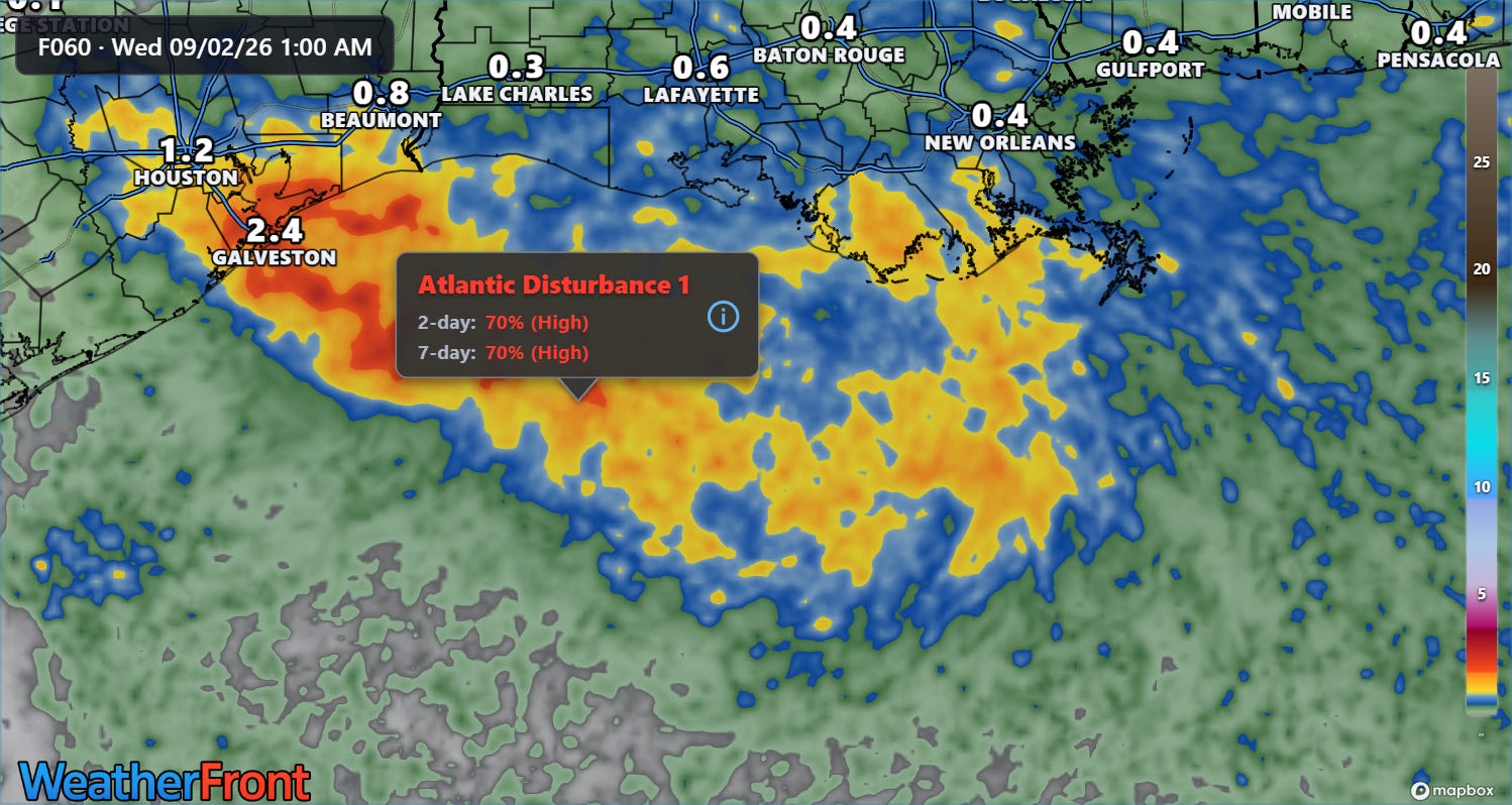
As 97L has become better organized, model rainfall forecasts have trended up since this morning. The latest rapid refresh high resolution ensemble mean forecast rainfall has 1-4” along the track of the storm and probabilities of 5+” rainfall amounts have come up quite a bit. We will need to keep closely monitor the potential for heavy rainfall and flash flooding assuming the system continues to become better developed.
Another developing story this evening is the rapidly growing Plaskett Fire in the Big Sur area of California.
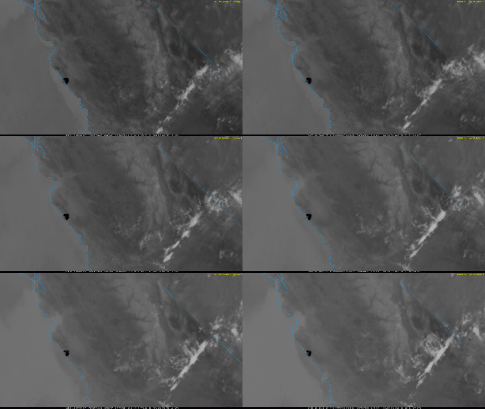
The large dark hot spot is clearly visible on the shortwave infrared animation above.
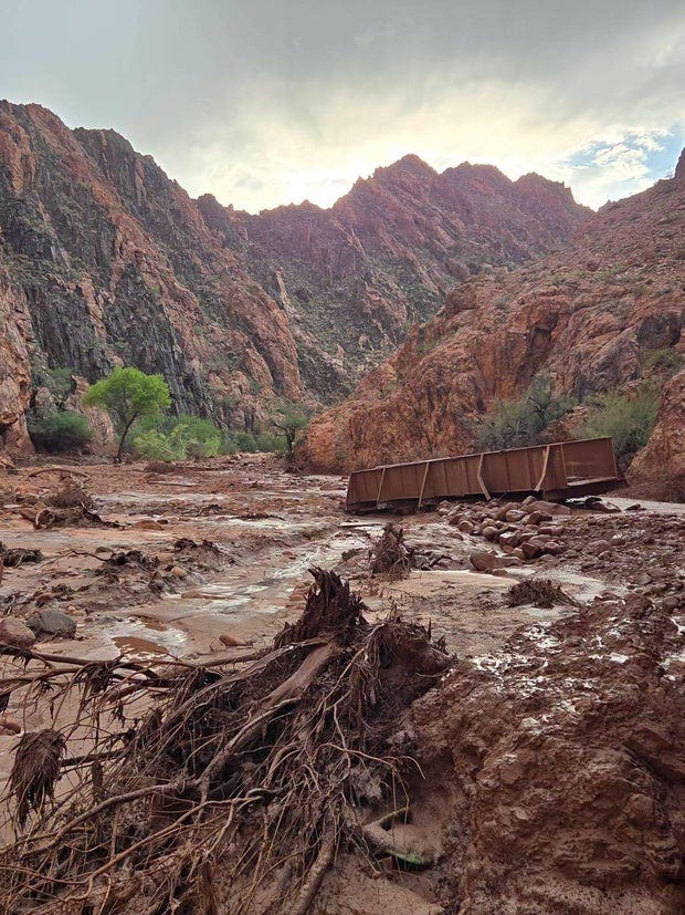
Finally, more information is coming out this evening about a massive flash flood that swept through parts of the Grand Canyon Saturday evening. While initial reports earlier today indicated that no casualties were known, reports later today indicate that more than a dozen people may be missing. This is an area where many people camp and hike so obviously the numbers of people impacted are fluid — dozens had to be evacuated and significant infrastructure damage to Grand Canyon National Park occurred on the canyon floor.
I will have more on all of these stories on Monday.


Leave a Reply